

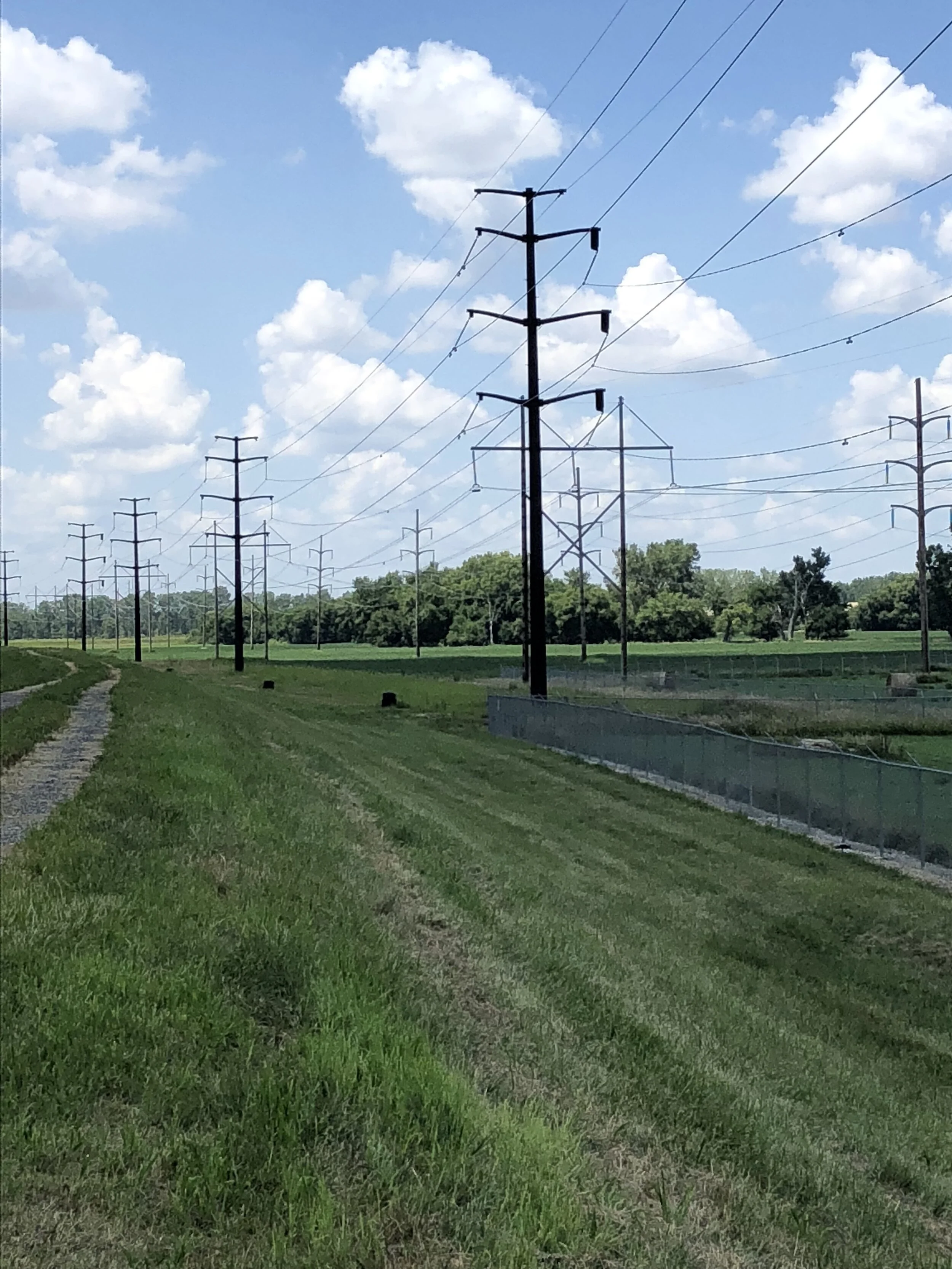
Active Levee Projects
Levee Alignment A Accreditation
UNDERWAY
Coordination with the Federal Emergency Management Agency (FEMA) is underway for accreditation of the northwest portion of the City’s levee system. Documentation has been developed for a segment of the Missouri River levee system starting at Big Lake Park and running west and south to the Western Historic Trails Center (south of Interstate 80). Once this is documentation is accepted, this segment of levee will be officially documented as accredited on FEMA Flood Insurance Rate Maps (FIRMs). Documentation for other segments of levee in Council Bluffs will be coordinated with FEMA once construction of necessary improvements is complete.
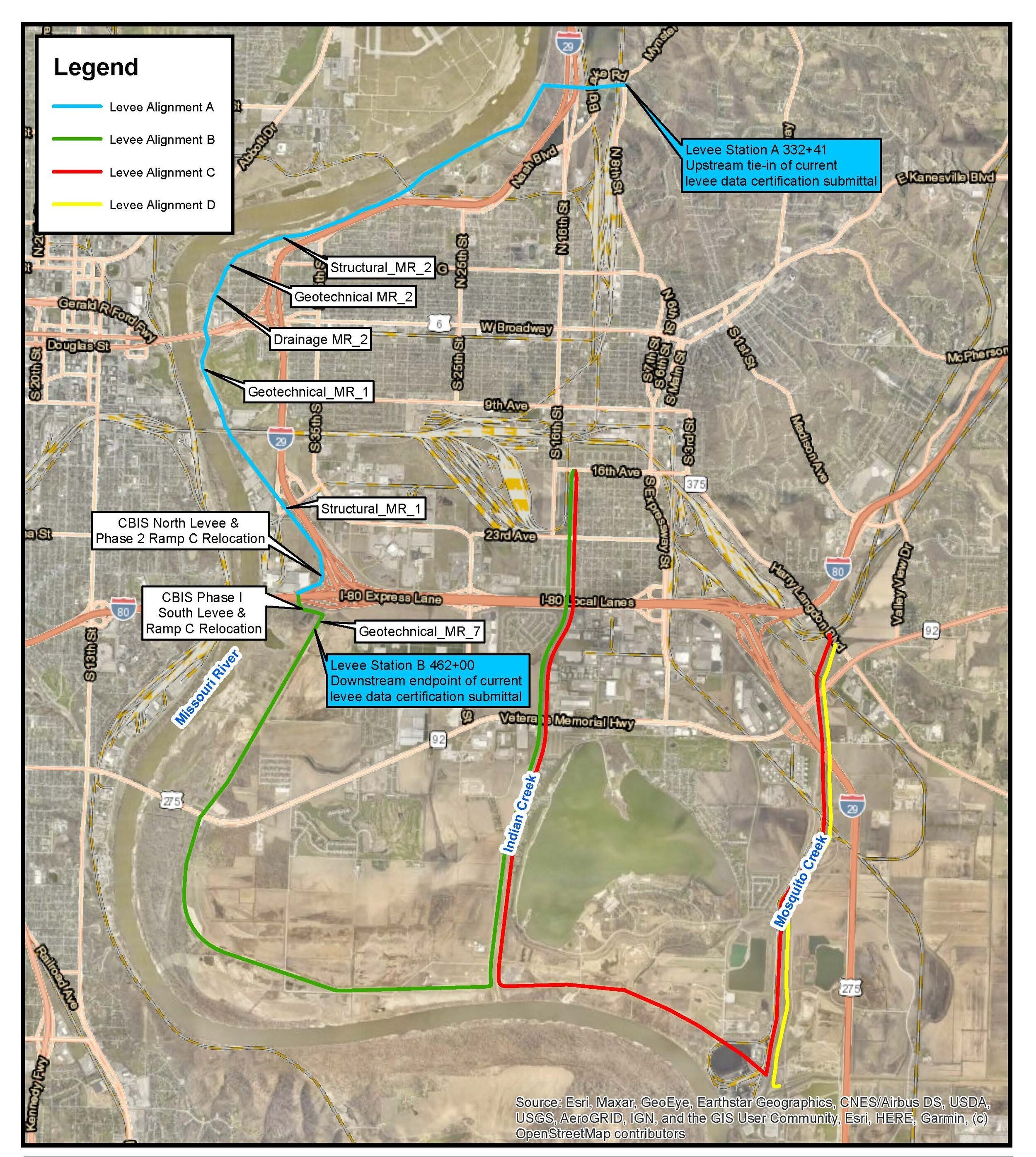
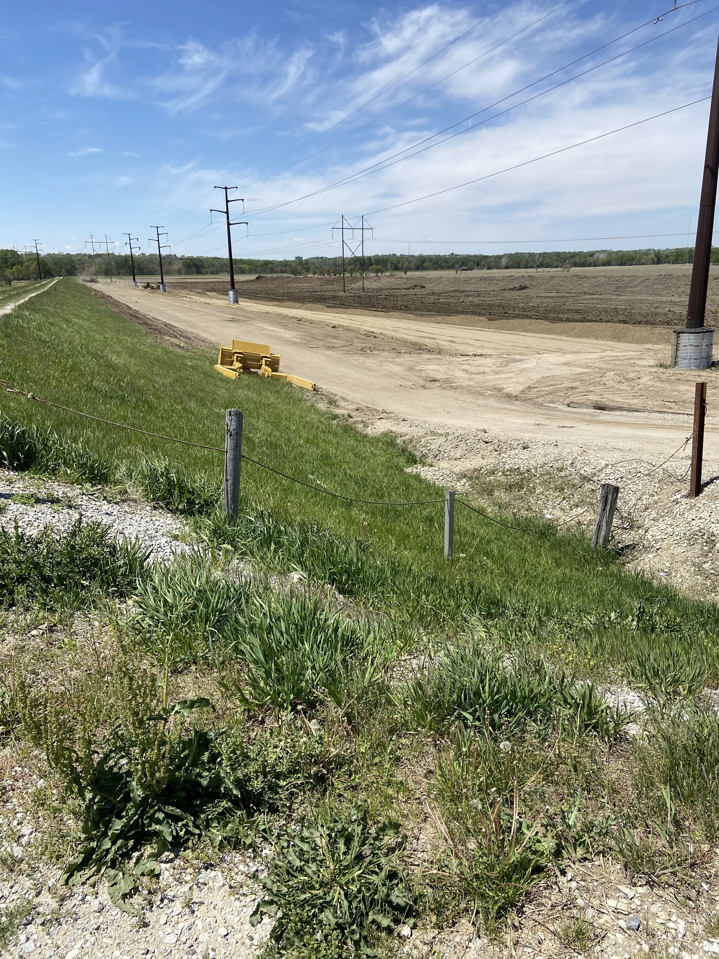
Levee Underseepage Control Project Improvement (Geotechnical MR_3)
CONSTRUCTION UNDERWAY
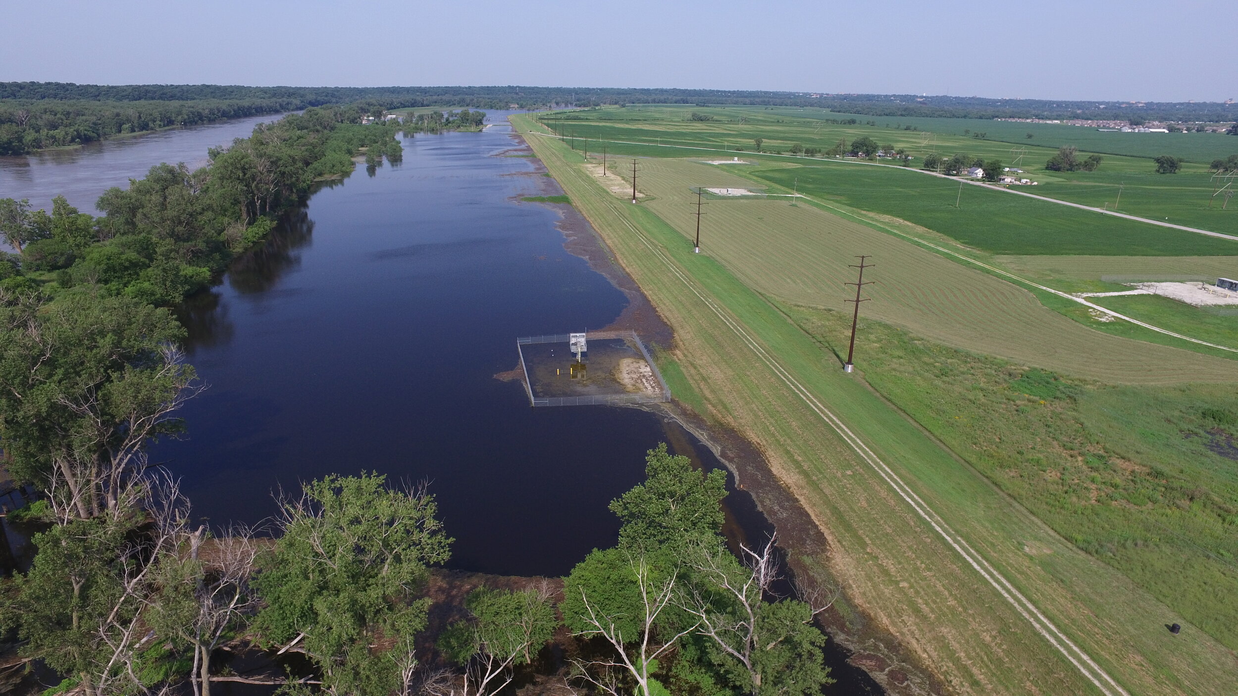
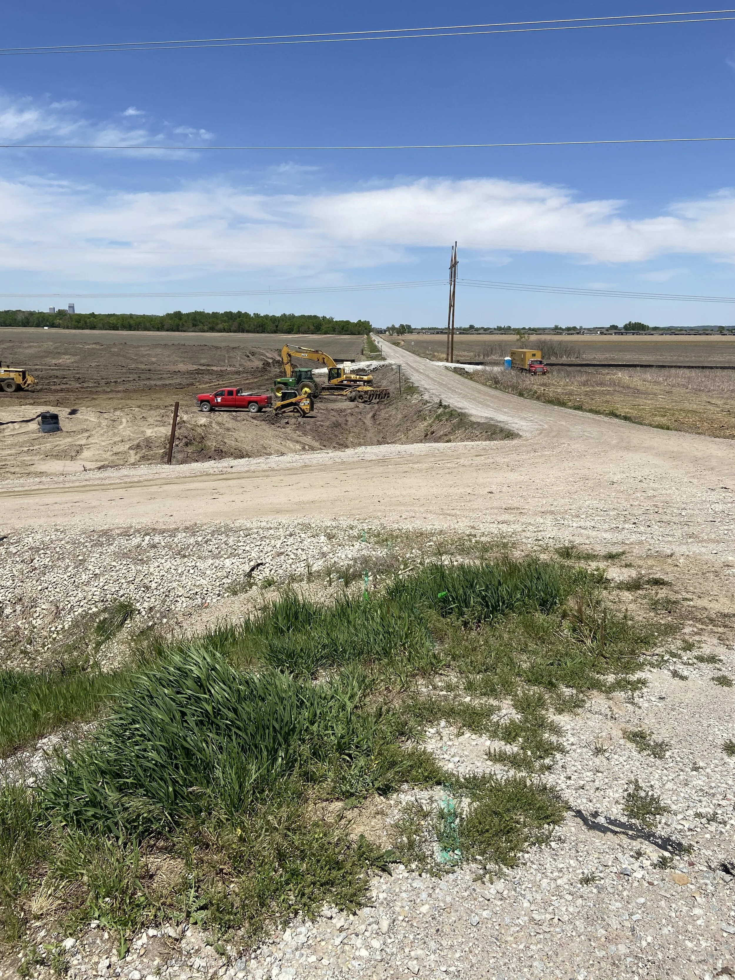
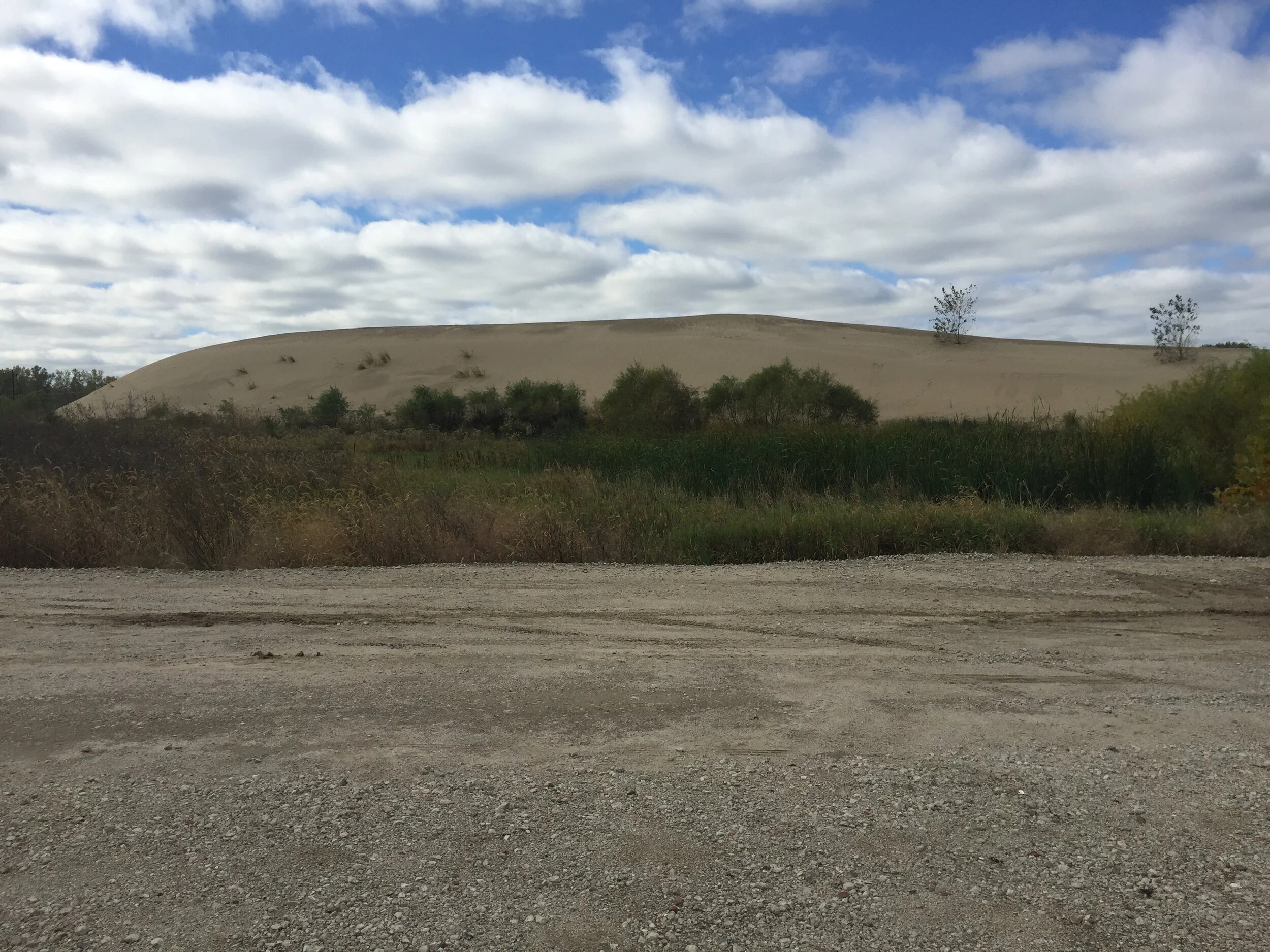
The project will replace existing levee underseepage control features. Twelve relief wells will be decommissioned and replaced with a seepage sand berm measuring approximately 3,500 feet in length and ranging in width from 150 feet to 300 feet. The sand berm will partially be constructed utilizing existing sand berm material on-site placed during the 2011 flood. Over 65,000 cubic yards of additional sand for the project will be sourced from material dredged from Lake Manawa.

Levee Underseepage Control Project Improvement (Geotechnical MR_4)
CONSTRUCTION UNDERWAY
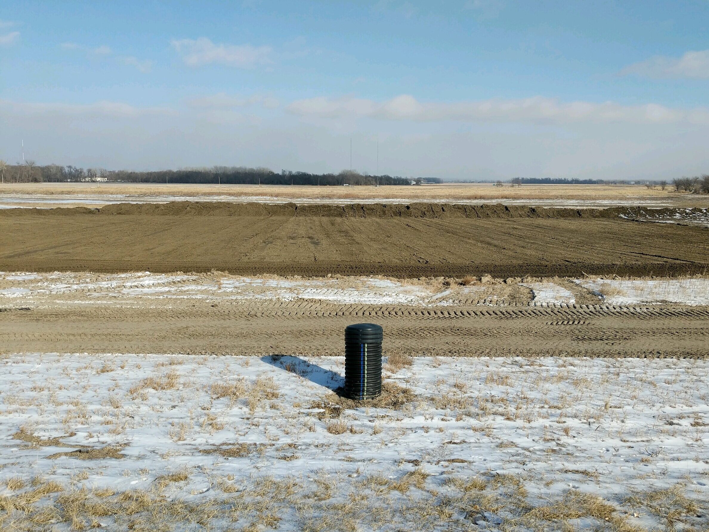
The project will replace existing levee underseepage control features. Ten relief wells will be decommissioned and replaced with a seepage sand berm measuring approximately 4,700 feet in length and 400-feet in width. The sand berm will partially be constructed utilizing existing sand berm material on-site placed during the 2011 flood. Over 375,000 cubic yards of additional sand berm material will be sourced from material dredged from Lake Manawa.


Levee Underseepage Control Project Improvement (Geotechnical MR_6)
DESIGN UNDERWAY
The project will replace existing levee underseepage control features.
Levee Underseepage Control Project Improvement (Geotechnical MR_8)
DESIGN UNDERWAY
The project will replace existing levee underseepage control features.

Levee Underseepage Control Project Improvement (Geotechnical MR_9)
DESIGN UNDERWAY
The project will replace existing levee underseepage control features.
Completed Levee Projects
Levee Underseepage Control Project Improvement (Geotechnical MR_5)
COMPLETED IN 2020
The project replaced existing levee underseepage control features. Seven relief wells were decommissioned and replaced with a seepage sand berm measuring approximately 1,500 feet in length and 275 feet in width . The sand berm was partially constructed utilizing existing sand berm material on-site placed during the 2011 flood. Over 40,000 cubic yards of additional sand berm material was hauled to site to complete the berm.

Levee Drainage Structure Improvement (Drainage MR_2)
COMPLETED IN 2019
The project improved drainage pipes through the levee and the outfall structure at the river.
READ MORE
Levee Structural Improvement and Encroachment Removal (Structural MR_2)
Completed in 2016
The project removed an aged floodwall and replaced with earthen levee embankment. The project also removed old water infrastructure that was encroaching the levee system.
READ MORE
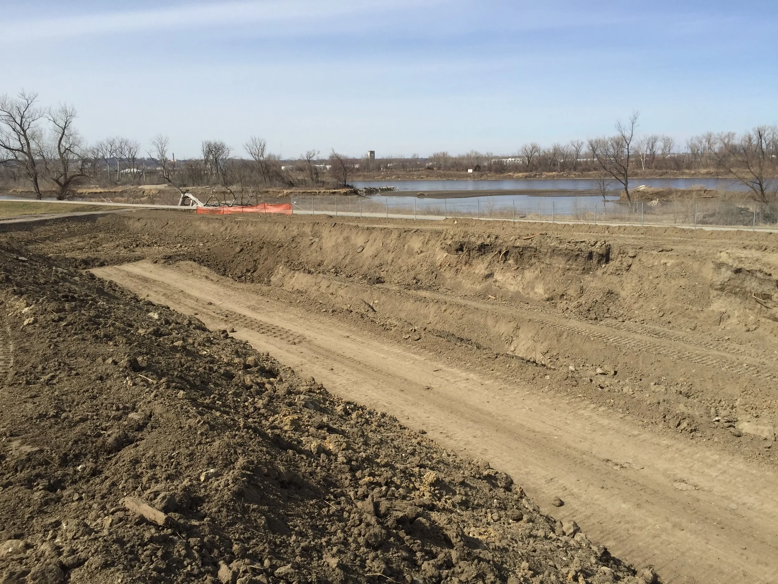
Lake Manawa Sand Dredging
COMPLETED IN 2020
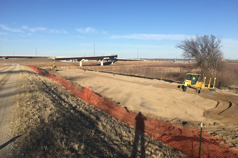
The city partnered with the Iowa Department of Natural Resources (IDNR) to complete a dredging project at Lake Manawa. While the dredging project is beneficial to the lake, the dredged sand will serve as an important material source for construction of planned sand seepage berms. A grand total of 519,805 cubic yards of sand suitable for seepage berms was successfully dredged from the lake.

Levee Underseepage Control Improvement (Geotechnical MR_1)
Completed in 2016
The project replaced existing levee underseepage control features. Twenty one original relief wells were replaced with a pervious toe trench with collector pipe system. The pervious toe trench is supplemented with a sand berm. The sand berm was partially constructed utilizing existing sand berm material on-site placed during the 2011 flood.
READ MORE

Levee Underseepage Control Improvement (Geotechnical MR_2)
Completed
The project modified the existing relief well system by retrofitting the system with a buried discharge pipe system to collect flow from the relief wells. A groundwater sump was constructed to collect and allow for pumping of flow collected from the relief wells.
READ MORE

Levee Railroad Flood Gate Closure Rehabilitation (Structural MR_1)
Completed
The project rehabilitated the existing Union Pacific Railroad flood gate closure. New mechanical features were installed and the flood gate was repainted. The damaged sill of the closure was repaired.
READ MORE
Levee Underseepage Control Improvement (Geotechnical MR_7)
completed
The project replaced existing levee underseepage control features. Seven new relief wells were installed to replace seven original relief wells. A stability and seepage sand berm was installed to supplement the relief wells. The sand berm was constructed utilizing existing sand berm material on-site placed during the 2011 flood.
READ MORE

Levee Encroachment Removal (Pacific Fruit Express Pump Station Abandonment)
COMPLETED
The project properly abandoned an out of service pump station and out of service gas line.